















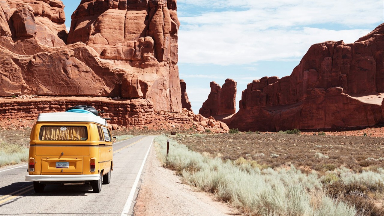
The best scenic weekend drives from Phoenix elevate drivers out of the Sonoran Desert basin into cooler alpine ponderosa pines, dramatic red rock canyons, and historic copper-mining switchbacks within 90 minutes to 3 hours. Whether you seek winding technical asphalt, lakeside mountain panoramas, or 25-degree temperature drops, central Arizona’s highway grid offers some of the most ecologically diverse road trips in North America. In our hands-on road evaluations across Arizona’s scenic byway system, these five road routes maximize panoramic overlooks, geological landmarks, and historic roadside dining.
Phoenix sits in the Valley of the Sun at 1,100 feet elevation, making elevation gains your primary vehicle performance and packing consideration. Ascending to Flagstaff (7,000 feet) or the Mogollon Rim (7,500 feet) brings rapid weather transitions, shifting from desert heat to alpine mountain breezes. The comparison table below highlights drive times, route distances, and must-see turnouts for each weekend route.
Scenic Drives from Phoenix: Route Overview & Metrics
Selecting the right road trip depends on your available weekend time, vehicle clearance, and target scenery. Here is the empirical breakdown of Arizona’s top five weekend drives from Phoenix.
| Scenic Drive Name | One-Way Distance | Drive Time | Elevation Change | Key Landscape Highlights |
|---|---|---|---|---|
| Sedona & Oak Creek Canyon (SR-179 & 89A) | 116 miles | 2 hrs 10 mins | +3,400 ft | Crimson sandstone buttes, switchback canyon gorges, babbling trout streams |
| The Historic Apache Trail (SR-88) | 48 miles | 1 hr 45 mins | +1,200 ft | Canyon Lake canyon walls, Tortilla Flat, Superstition Mountain saguaro forests |
| Mogollon Rim / Payson to Woods Canyon (SR-87 & 260) | 125 miles | 2 hrs 15 mins | +6,400 ft | Two-thousand-foot drop cliff edge, deep ponderosa forest, alpine fishing lakes |
| Jerome & Mingus Mountain (SR-89A) | 110 miles | 2 hrs 05 mins | +4,200 ft | Ghost-town cliffs, Jerome hillside mansions, Verde Valley panoramic vistas |
| Mt. Lemmon Highway / Catalina Scenic Byway | 145 miles | 2 hrs 45 mins | +8,000 ft | Bicro-climate biome transitions, dramatic hoodoo rock pillars, Summerhaven pines |
1. Sedona Red Rock Scenic Byway & Oak Creek Canyon (SR-179 & SR-89A)
State Route 179 and State Route 89A combine to form Arizona’s most celebrated scenic corridor, taking drivers through cathedral-like red rock buttes before climbing through lush alpine canyon switchbacks. Departing north on Interstate 17, exit at SR-179 near the Village of Oak Creek to experience unobstructed views of Bell Rock, Courthouse Butte, and Cathedral Rock.
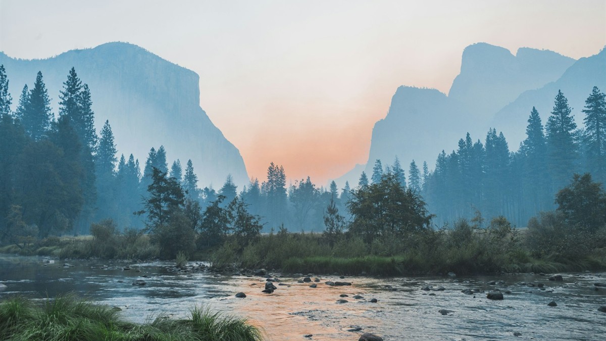
Once through uptown Sedona, continue onto SR-89A into Oak Creek Canyon. The road hugs the rushing creek before climbing a dramatic series of hairpin switchbacks up the Mogollon Rim. Stop at the Oak Creek Vista Overlook at the canyon summit to browse handmade silver jewelry from Native American artisans while taking in 180-degree gorge views. For long-distance road trippers preparing for extended family itineraries, consult our practical advice on tips for making the most of your family trip.
2. The Apache Trail Scenic Byway (State Route 88)
Winding through the rugged Superstition Mountains past Canyon Lake and Apache Lake, State Route 88 follows an ancient stagecoach trail carved through volcanic desert gorges. Beginning in Apache Junction just 40 minutes east of downtown Phoenix, this drive delivers dramatic geological drama without long freeway cruising.
Stop for lunch at the historic settlement of Tortilla Flat (population 6), ordering prickly pear gelato and viewing walls lined with real dollar bills. Beyond Tortilla Flat, the recently restored route leads to scenic marina vistas overlooking Canyon Lake where steep canyon walls plunge hundreds of feet into turquoise desert water. Always check the Arizona Department of Transportation road portal for seasonal unpaved grading conditions beyond Fish Creek Hill.
3. The Mogollon Rim Escarpment via Payson (SR-87 & Forest Road 300)
Driving the Beeline Highway (SR-87) to the Mogollon Rim delivers the fastest summer heat escape, lifting Phoenix motorists into crisp 7,500-foot pine forests in just over two hours. The route climbs through Fountain Hills and Tonto Basin before reaching the mountain town of Payson.
From Payson, head east along SR-260 to Forest Road 300 (Rim Road). This gravel road skirts the razor edge of the 2,000-foot Mogollon Rim escarpment—the southern geological boundary of the Colorado Plateau made famous by author Zane Grey. Pull off at the Woods Canyon Lake Vista for a panoramic view overlooking thousands of square miles of untouched ponderosa pine canopy stretching toward the southern horizon.
4. Jerome, Mingus Mountain & The Verde Valley (SR-89A)
Climbing the precipitous western face of Mingus Mountain to the historic cliffside mining haven of Jerome delivers adrenaline-fueled hairpin turns paired with panoramic Verde Valley views. Once known as the “Wickedest Town in the West,” Jerome clings precariously to Cleopatra Hill at a 30-degree incline.
Drive through Cottonwood before attacking the switchbacks up SR-89A. Park in Jerome to explore converted copper-miner saloons, artisan glassblowing studios, and the Jerome State Historic Park. Continue over the summit of Mingus Mountain (7,815 feet) for a technical winding descent through thick pine groves into the Victorian courthouse square of Prescott.
According to safety and resource guidelines maintained by the Arizona Office of Tourism, checking brake pads and transmission fluid levels before ascending high-grade mountain routes like Mingus Mountain prevents mechanical overheating.
5. Mount Lemmon Highway (Catalina Scenic Byway)
The Mount Lemmon Highway takes drivers through five distinct life zones in just 27 miles—equivalent to driving from Mexico to Canada in under an hour. Starting on the northeastern edge of Tucson (an easy 90-minute cruise south of Phoenix on I-10), this engineered scenic byway climbs 6,000 vertical feet to the village of Summerhaven.
The scenery morphs dramatically from towering saguaro cacti to juniper scrublands, oak woodlands, and finally dense fir-pine forests with granite hoodoos. Stop at the Windy Point Vista for an eagle’s-eye view over the Tucson basin, and finish your ascent at the Mount Lemmon Cookie Cabin in Summerhaven for giant freshly baked chocolate chip cookies served warm under cool mountain pines.
Frequently Asked Questions
What is the closest scenic drive to Phoenix for a quick half-day trip?
The Apache Trail (State Route 88) through the Superstition Mountains to Canyon Lake and Tortilla Flat is the closest scenic drive, located just 40 minutes east of downtown Phoenix. It offers dramatic desert gorges, lake views, and historic stagecoach stops in under 4 hours round-trip.
Which scenic drive from Phoenix has the biggest temperature drop in summer?
The drive to the Mogollon Rim (SR-87 through Payson to Woods Canyon Lake) and the Mount Lemmon Highway both provide 20 to 30-degree Fahrenheit temperature drops compared to Phoenix, offering immediate 75-degree alpine relief during scorching desert summer months.
Do I need a four-wheel-drive (4WD) vehicle for scenic drives around Phoenix?
No. Popular scenic drives such as Sedona (SR-179/89A), the Mogollon Rim (SR-260), Jerome (SR-89A), and Mount Lemmon are fully paved highways accessible to standard passenger sedans and electric vehicles. Only unpaved spur roads like Forest Road 300 or backcountry trails require high clearance.
What is the best time of year to take scenic drives from Phoenix?
October through April offers ideal, pleasant weather for desert routes like the Apache Trail and lower elevation canyons. Conversely, May through September is prime season for high-elevation alpine routes like Oak Creek Canyon, the Mogollon Rim, and Mount Lemmon to escape triple-digit Valley heat.